
Woolston, Warrington
Woolston is in the Borough of Warrington in the county of Cheshire, England. Formerly a township within the parish of Warrington, Woolston-with-Martinscroft consists of two settlements: Woolston to the west and Martinscroft to the east, which run along the north bank of the River Mersey and take in Paddington to the south-west. It is bounded by the River Mersey to the south, Bruche and Padgate to the west, Longbarn and Birchwood to the north and Rixton to the east. Within the boundaries of the historic county of Lancashire, the township remained an agricultural community on the furthest outskirts of Warrington until the 1970s, when development by Warrington New Town radically transformed its rural character. The parish is generally known as just Woolston.
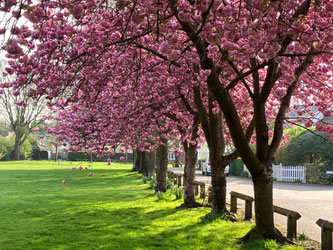
The area has two main natural areas: Woolston Linear Park and the Woolston Eyes Nature Reserve—a Site of Special Scientific Interest.
Woolston is situated in the Mersey Valley and so there is a very slight lowering in height between it and the surrounding areas. The highest point is on the Woolston Eyes, formerly Thelwall Eyes, (four-man-made areas formed by large embankments for the dispersement of dredging waste). The lowest point is the marshland formed by the dereliction of the Woolston New Cut Canal and Woolston Old Canal. The Manchester Ship Canal denotes the southerly boundary of the Eyes reserve and could be crossed either via nearby Latchford locks or by the unique penny ferry crossing (11p each way as of October 2009). The penny ferry, came to and end in the middle of 2022 and there is an article here discussing the ferry, the story of the man who operated it from 2002 to 2022 (Kevin Wilkinson), its history and its future.
Woolston has plenty of waterways including the aforementioned canals; the new cut of the River Mersey; and the Manchester Ship Canal.
Information provided by Wikipedia